Autumn snow in Langarud – Gilan Province, Iran (Photo credits: Young Journalists Club)

Autumn snow in Langarud – Gilan Province, Iran (Photo credits: Young Journalists Club)

Autumn snow in Langarud – Gilan Province, Iran (Photo credits: Young Journalists Club)

Autumn snow in the northern Iranian provinces (Photo credits: Ashkan Shabani, ISNA)

Autumn snow in Gorgan – Golestan, Iran (Photo credits: MEHR)

Autumn snow in Rasht – Gilan Province, Iran (Photo credits: Ashkan Shabani, ISNA)

Autumn snow in Rasht – Gilan Province, Iran (Photo credits: Ashkan Shabani, ISNA)

Autumn snow in Rasht – Gilan Province, Iran (Photo credits: Ashkan Shabani, ISNA)

Autumn snow in Rasht – Gilan Province, Iran (Photo credits: Ashkan Shabani, ISNA)

Autumn snow in the northern Iranian provinces (Photo credits: Mostafa Shanechi, ISNA)

Autumn snow in Rasht – Gilan Province, Iran (Photo credits: Ashkan Shabani, ISNA)

Autumn snow in Rasht – Gilan Province, Iran (Photo credits: Ashkan Shabani, ISNA)

Autumn snow in Rasht – Gilan Province, Iran (Photo credits: Ashkan Shabani, ISNA)

Autumn snow in the northern Iranian provinces (Photo credits: Ashkan Shabani, ISNA)

Autumn snow in Rasht – Gilan Province, Iran (Photo credits: IRNA)

Autumn snow in Rasht – Gilan Province, Iran (Photo credits: IRNA)

Autumn snow in the northern Iranian provinces (Photo credits: Mostafa Shanechi, ISNA)

Autumn snow in Gorgan – Golestan, Iran (Photo credits: Mostafa Hazanzadeh, Tasnim)

Autumn snow in Gorgan – Golestan, Iran (Photo credits: Mostafa Hazanzadeh, Tasnim)

Autumn snow in Ziarat – Golestan, Iran (Photo credits: Mohammad Nesaei, Tasnim)

Autumn snow in Sari – Mazandaran, Iran (Photo credits: Amir Ali Razzaghi, MEHR)

Autumn snow in the northern Iranian provinces (Photo credits: Mehdi Heydarinezhad, ISNA)

Autumn snow in Kerman, Iran (Photo credits: Rahim Bani Asad Azad, ISNA)

Autumn snow in Kerman, Iran (Photo credits: Rahim Bani Asad Azad, ISNA)

Autumn snow in Kerman, Iran (Photo credits: Sare Tajalli, ISNA)

Autumn snow in Gorgan – Golestan, Iran (Photo credits: MEHR)

Autumn snow in Gorgan – Golestan, Iran (Photo credits: MEHR)
Sources: IRNA 1, IRNA 2, ISNA 1, ISNA 2, ISNA 3, ISNA 4, Mehr News Agency (MNA 1), MNA 2, MNA 3, MNA 4, MNA 5, MNA 6, Tasnim News Agency (TNA) 1, TNA 2, TNA 3, TNA 4, TNA 5, Young Journalists Club


")


")

")

")


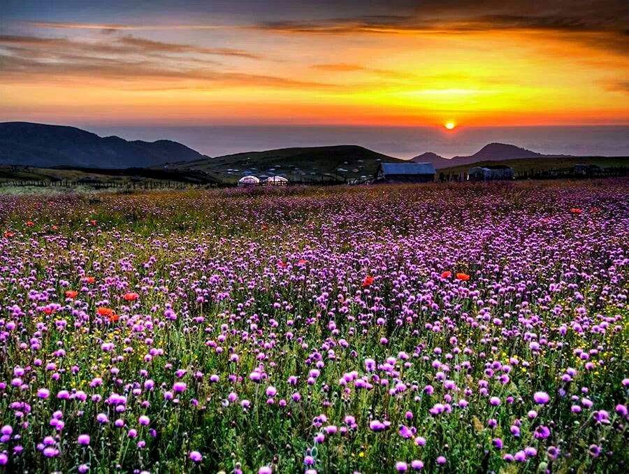
 to Khalkhal (Ardabil) 38 - (Photo by Ali Memari - Panoramio User 4500840)")
 to Khalkhal (Ardabil) 67 - (Photo by Peyman Azimi - Panoramio User 5065923)")
 to Khalkhal (Ardabil) 60 - (Photo credit alireza.younnesi - Instagram)")
 to Khalkhal (Ardabil) 22a - (Photo by Ali Memari - Panoramio User 4500840)")
 to Khalkhal (Ardabil) 07 -")
 to Khalkhal (Ardabil) 23 - (Photo by Ali Memari - Panoramio User 4500840)")
 to Khalkhal (Ardabil) 63 - (Photo credit nima_ki - Instagram)")
 to Khalkhal (Ardabil) 25 - (Photo by Ali Memari - Panoramio User 4500840)")
 to Khalkhal (Ardabil) 15 - (Photo by Ali Memari - Panoramio User 4500840)")
 to Khalkhal (Ardabil) 05 -")
 to Khalkhal (Ardabil) 29 - (Photo by Ali Memari - Panoramio User 4500840)")
 to Khalkhal (Ardabil) 39 - (Photo by Ali Memari - Panoramio User 4500840)")
 to Khalkhal (Ardabil) 21a - (Photo by Ali Memari - Panoramio User 4500840)")
 to Khalkhal (Ardabil) 18 - (Photo by Ali Memari - Panoramio User 4500840)")
 to Khalkhal (Ardabil) 31 - (Photo by Ali Memari - Panoramio User 4500840)")


")
")
")
")
")
")
")
")
")
")
")
")
")
")
")
")
")
")